Introduction
What a fabulous day for a walk!
The area to the east of the M61 is one I’ve been visiting more often. These West Pennine Moors seemed an ideal location for today.
So, I headed off to my chosen starting point, the charming White Coppice Cricket Club.

The weather stayed sunny throughout my walk.
It’s a 45 minute drive from Cheadle Hulme to White Coppice.
The 8 mile walk comprised a trek uphill onto the moors, a traverse of the moor top, and a pleasant descent through valleys and alongside reservoirs. It took 4 hours as it was quite muddy and slow in places.
The walk today would be great for dog walking. At other times nesting birds and sheep may make it less so.
I parked at the cricket club car park, postcode PR6 9DE.
I walked clockwise.
The walk is on OS Explorer Map 287.

White Coppice To Great Hill
Leaving the top of the cricket field, the path crosses The Goit, a canal which collects water from numerous streams falling off the moors and diverts it into the reservoir system.

The path then rises straight up the hill, and the views back down to the cricket ground are soon to be enjoyed.


Far to the west, Blackpool Tower rises on the coastline.

It’s an enjoyable hike, and it flattens out somewhat, passing a copse just before the ruins at Drinkwaters. Here, there’s a celebration of a fell runner. named Joe 1939 – 1991.

It’s a good view back over the copse to the plains of west Lancashire.

There are a few walkers out here today, and also the occasional cyclist.

I detoured slightly from my mapped route, to visit the summit and wind shelter at Great Hill, with views to Blackburn.

A couple of fellow hikers were taking a break here, too.


Great Hill To Lead Mines Clough
Having detoured to Great Hill, I got slightly disorientated. After descending from the summit I turned right, then realised I was on the path I’d originally intended to come up from Drinkwaters on. My route was easy to see, as it was a direct line towards the TV mast at Winter Hill.
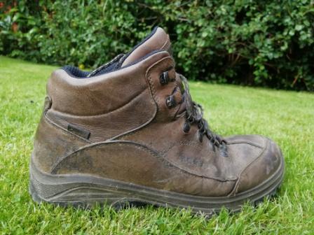
The path is made up with large stone slabs. However, many are now subsiding below water table level, so waterproof footwear is essential here.

Nearing the road below the mast, I enjoy the hang gliding display before taking a right turn. I just got one in the picture!

Heading downhill now, the path isn’t formed with stones, and it’s quite boggy underfoot. There are no people walking this stretch.

The sky remained a beautiful deep blue.

All of the farms are now just ruins, first “The Hempshaws” then “Simms”.
Soon, I arrive at the pretty, wooded Lead Mines Clough.


Lead mining ended in 1837. In 1992, an old waterwheel pit was found and excavated.

Lead Mines Clough To White Coppice
IAfter leaving the clough, I soon get my first view of the southern end of Anglezarke Reservoir…. and first cloud too.

Crossing the pastures, I get a good view of the town of Chorley beyond the mole hills!

High Bullough Reservoir is delightful, nestled in a hillside above Anglezarke.

The outfall runs down to Anglezarke, a large body of water running north to south.

After crossing the minor road, my route follows The Goit to my left, and the wooded Stronstrey Bank to my right.
This view looks back, with the bank on the left.

And a little further on I recross The Goit to return to the cricket ground.

This was a perfect walk, on a perfect day. Very enjoyable!
And Finally….
The new album Anarchist Gospel by Sunny War (no, I’d never heard of her before) is the best thing I’ve heard for ages. Great musicianship, different styles, all good.
This foot-tapping tune is “No Reason”


Hi met you last year when my hubby and I were walking from Greenfield above Dovestones.
Your walk looks just up our street we will certainly plan a hike.
We also were walking on the West Pennines from Ramsbottom to Peel Tower a circular.
The weather was perfect wasn’t it.
Thanks for sharing.
Yes, I remember meeting you both, and I agree the weather was brilliant today. And the walk from Ramsbottom to Peel Tower is a lovely route too!