Introduction
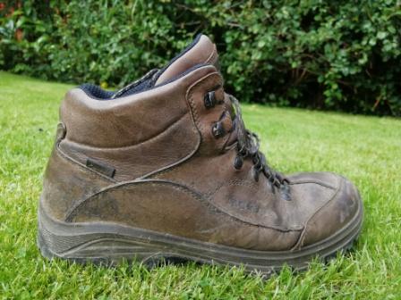
A very pleasant day for walking – not too hot and not too cool, took me to the village of Rushton Spencer, between Macclesfield and Leek. Unfortunately, a cloudburst had occurred just before I arrived, and the numerous fields of long grass were very wet, as were my boots, socks, and feet by the end!
This walk is 5.8 miles long, with 750 feet of ascent, and took 3 hours.
The journey is about 35-40 minutes each way by car from Cheadle Hulme.
It’s not brilliant for dog walkers, but there is lots of empty grass pasture to run in, but a few fields with livestock, a few stiles to cross, and some short road sections.
I walked in an anti-clockwise direction.
The walk is on OS Explorer Map 268.
I parked at the car park, adjacent to the Knot Inn on the disused railway line from Leek to Macclesfield, postcode SK11 0QU. What 3 Words /// postage.wobbles.assess
The public car park is up the track on the extreme right of the picture below.


Knot Inn To Long Edge
From the car park, I returned to the road and after a few yards, took the lane to the left up the hill.

It was only a few minutes before the view down Rudyard Lake appeared to my left.

Across the valley Sutton Mast would be pretty much omnipresent during this walk.

As would rabbits! At first, I thought this one was a hare. Then it hopped off, looking every inch a rabbit. Still not sure though!

I was crossing fields of deep, wet, grass now. Keeping my feet dry was impossible, and I was pleased to reach the road, Beat Lane.

I took to the fields again to cut the corner offf, and rise to Long Edge.
On the far skyline, the mast was joined by the familiar outline of Shutlingsloe.

Long Edge To The Knot Inn
After a brief road section, it was down through a couple of fields, and over a stile onto a narrow path next to a wire fence. A sharp right turn led to the top of a steep, overgrown path down into a pretty clough with an old, but well built bridge.


Over the bridge , the ground rises quickly, and looking back gives a good view of this secluded wooded feature.

Rising quickly, the view left, to the north, brought the city of Manchester skyline into view, some 30 miles away.

Bizarrely, Sutton Mast now seemed to have been joined by a ghostly sheep peering from the clouds.


I hurried on!
Beyond Lower Oxhey, a long field ran downhill, eventually reaching Dingle Lane and Dingle Brook.

A narrow pretty lane led off to the right, dropping down, then rising past a pond, marked on the map as a spring.


Turning left at Great Hough, the path led back to Beat Lane and a short way along the road, to the lovely disused rail line, which has been converted to a proper footpath, but unlike many, it isn’t greatly used.


A short stop at the car for a sandwich, and time for some well earned refreshment, homemade flapjack and a pint of Zephyr by Storm Brewing Company!

And then home!
There are numerous ways to walk from Rushton Spencer, and my route today is a fairly unlikely choice. However, I like to keep off the beaten track, and it was very enjoyable, despite the wet conditions underfoot.
And Finally….
The Zutons are well known for the original version of “Valerie”, and are still going strong.
This is “Water” from their new album “The Big Decider”

