Introduction
Great day for a walk!
It started with more cloud than sun, but the middle part of the day was still, dry, and sunny.
So, I headed up to the Peak District, through Castleton and Hope to Hathersage.
The journey took from Cheadle Hulme took an hour.
This route is about 7 miles, and has a whopping 1300feet of ascent. It took 3 hours 20 minutes plus a 20 minute break for lunch.
Much of the first part of the walk is in wooded valleys alongside brooks, with opportunities for dogs to run off the lead. However, the second half would require dogs to be on the lead.
I walked in a clockwise direction.
This walk isn’t obvious on the paper maps as it spans the southern border of OS Explorer Map OL1, and the northern border of OL24. This may explain why I saw just one other person on the walk.
I parked in front of The Plough Inn (open from lunchtime till late!), postcode S32 1BA. What 3 Words ///shade.outbound.plod

HighlowAnd Bretton Brooks
I set off up the minor road opposite the pub, passing the small mill pond.

A short way up the road, the track led off the road and dropped down to a bridge over Highlow Brook.

Rising up the opposite bank, splendid views emerged on this crystal clear day.


The path falls again, and is lined by beautiful bronze ferns.

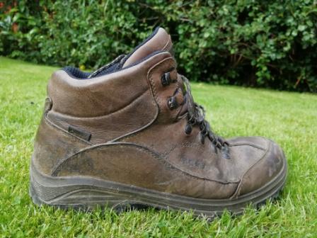
Heading into Brook Wood, it looks dark! It was not only dark, but the path was flat and very muddy in parts. Don’t go on this path if your footwear isn’t at all waterproof.

After the wood, there was a path over a bridge to Highlow Hall.

My route continued to undulate, providing more splendid views.

On reaching the head of the Highlow valley, there are choices of routes. However the bridge across to Abney Clough was closed.

I briefly went the wrong way, on the path round Bole Hill before returning to the track up Bretton Brook. The main track continues up Bretton Clough, but my route left the track to the right on a very indistinct and little used path alongside the brook. I was grateful for the GPS, but this was a lovely area.
Eventually, I rejoined the main path to drop down to this bridge over the brook.

Abney And Offerton Moor
I made my way up and out of the valley and over the sheep pasture.

I wandered down the lane through the hamlet, admiring the novel curlew weather vane.

There are lovely views down the valley of Abney Clough below.

It was time for lunch, so I stopped at the stone stile which leads onto Offerton Moor.

The countryside now changed from the pretty dales and brooks, to classic upland heather moor, punctuated by clear pools.

At the end of the moor, the views down into The Derwent valley from Hathersage to the right (header picture), over to Stanage Edge (below), and left up to Ladybower Reservoir are spectacular.

River Derwent
I walked down from the edge and across mixed farmland, including this pig!

I came to the river at the stepping stones near Hillfoot, but I had no need to cross.

This was different countryside again., just a gentle, flat stroll along a peaceful, wide river, with ducks, geese, and a single fly fisherman!


The walk concluded at the handsome Leadmill Bridge , followed by a swift pint of “Abbeydale Moonshine” in The Plough!
This is a brilliant walk, taking in different aspects of our beautiful Peak District. Highly recommended, but beware that muddy section!
And Finally….
Songs For A Nervous Planet is the new album from Tears For Fears. It has some pleasant new material, followed by live versions of some of their classics. It’s reminded me of how great this song is – No Small Thing.

